Designing for urban resilience

Last month I had the pleasure of attending the inaugural lecture by Penny Allan, a Landscape Architecture professor at Victoria University of Wellington.  Titled Designing for Disaster, Professor Allan’s talk drew extensively from her expertise in the area of urban design, particularly that which emphasises resilience, intelligently planning for disruptive events to mitigate their negative impacts on our lives.

I’ve noted in a previous post, that resilience is often considered one of the three pillars, along with sustainability and liveability, that underpins effective urban design – in that particular case, Water Sensitive Urban design (WSUD).  A follow-on blog on the Urban Nexus raised resilience as part of a short-list of city-centric analytical themes highlighting the significance of place awareness within the urban context.  In the case of disruption like that associated with a natural disaster, I suggested that a well-developed sense of place could serve as a pathway back to the familiar or, when place triggers were irreparably damaged, to new levels of locational awareness.

With these ideas in mind I was keen to attend Professor Allan’s lecture and to see, either blatantly or subtly, if she acknowledged sense of place as a key element of her treatise on resilience design.

In many ways Professor Allan’s lecture was a call to action within the professional community, to more deliberately incorporate resilience into the urban planning process.  By including robust design principals that acknowledged theEarthquake Christchurch 02 possibility of disruption as a matter of course, such informed planning would well prove its worth in the event of disaster.  Historically she suggested, much of this work was implemented after the fact, when a disaster had recently shaken, shifted or submerged traditional thinking along with the physical surroundings and for a time anyway, opened minds to new ways of rebuilding.
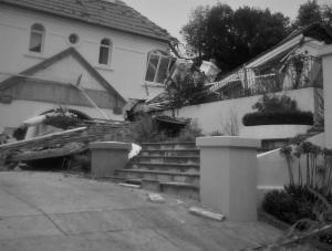
Therein lies the problem of course.  Prior to a disaster, the effects of a significantly disruptive event and the urban planning considerations that might need to be considered are speculative.  They are associated moreover with an event that might never happen at all, certainly not within the lifetime of several generations into the future.  Motivating a politician with the power or a developer with the budget to incorporate resilience design, potentially at greater monetary cost or project duration, is a difficult task to say the least when facing those realities.

As with any such large scale and long-incubated problem, the solution resides ultimately within a shift in thinking.  No amount of justifying the status quo makes that go away.  At some point minds have to be changed and completely new ways of thinking about and doing things have to be implemented as practice.

In the case of urban design, that means adopting, not just as academic exercise but as genuine, in-the-city-offices operational practice, new ways of conceptualising cities and the lives of the residents and visitors within its boundary and extended areas of influence.  It means taking that new level of thinking, incorporating it into best practice design and then applying that design as an integral and invaluable part of the planning process.

There are numerous models of cities, how they form, grow, ultimately embed themselves within and across the natural landscape and I’m certain I studied most all of them as part of my geography qualifications, but in her talk Professor Allan made an interesting observation about a couple of well-known models and their expression locally, in Wellington’s history.  She suggested that Wellington’s inception and subsequent maturity was influenced more by the so-called machine growth model rather than an organic growth model.

A detailed discussion of these models and their manifestations in the Wellington context is beyond the scope of this blog (and frankly, well beyond the abilities of my academic memory), but there was one observation in the lecture – the juxtaposition of an urban grid on a highly variable and steeply-sloped local topography – that highlights the underlying ideas nicely from a planning perspective and also creates some interesting linkages to the role of place awareness in such processes.

A look at early maps of Port Nicholson/Wellington demonstrates clearly the adoption of a traditional, European-based grid layout and one that had been devised with no real consideration of or even awareness of the local topography.  As the original settlement was planned for across the harbour from the current Wellington CBD, at the site today of Petone, the introduced plan might have represented a more logical fit.

Positioned in a fairly broad valley at the mouth of the Hutt River, the local topography there is relatively flat and conducive to a geometric grid of streets and properties.  But that location and its proclivity to serious flooding resulted in a move of the settlement across the harbour to the much more topographically varied and current site of central Wellington.

The grid remained however, and the result of this enforced, somewhat dogmatic attachment to traditional urban planning approaches of the day, as Professor Allan noted, was the unique layout that is modern Wellington.

There is a clear argument here to be made for a more environmentally sensitive approach to urban planning and the lack of consideration of local geography. The presence throughout Wellington of impossible grades, blind approaches, woefully-narrow streets and an utter reliance on a single, risk-exposed primary transportation artery into and out of the city all speak to that.

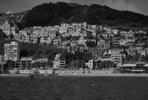
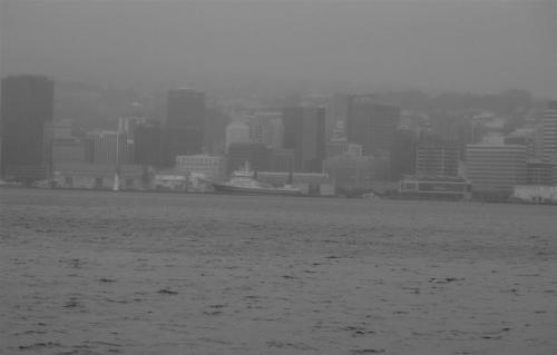
But likewise the collocation of foreign approaches to a city plan and indigenous geography make for a very urban_Wellington 09interesting urban context indeed.  The experience of Wellington I think would not be the same without the dramatic harbour views afforded a large majority of its commercial and residential properties, the intricate and hidden spaces distributed liberally and waiting to be discovered amongst its hilly real estate and the endlessly fascinating ways people have positioned their houses within that topographic context.
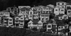
And it is this perspective I believe that Professor Allan was in the end espousing.  For in the final moments of her talk she made the case for the return of something “organic” within urban design, not so much as the expression of a formal urban growth model, as a recognition of local natural environmental conditions which must be part of the design and planning of cities situated in those environments.

Her argument, couched as it was in the broader context of urban resilience, centred on the fact that a design approach incorporating the local natural provides a heightened level of protection, an increased capacity to cope with the disruption of a disaster.  Green belts for instance provide buffers, shock absorbers if you will to the physical effects of floods, tsunami run-up, fires and earthquake building destruction – spaces to gather away from the direct effects of these events.  Even purposefully designed wide roads, as she demonstrated through the example of the devastating 1906 San Francisco earthquake, provided an invaluable space for people to gather and continue their lives, still in their familiar neighbourhoods but away from the direct danger of compromised buildings, fires and the lingering effects of aftershocks.

In the rush for continual advancement, motivated by a desire to persistently push the envelope of building design, Professor Allan argued, basic considerations of urban existence are often overlooked.  It might represent a shift in thinking, or perhaps a return to approaches lost some time ago in the seductive whirl of modern technological developments, but there needs to be a reconsideration of a city as a construct meant to support the well-being of its residents and visitors.

And it is the disruptive effects of a disaster that at once so effectively highlight the importance of that idea, whilst also representing the potential to overwhelm it.  All the more reason therefore to incorporate a common-sense, resilience-based approach to design, one that leverages the inherent, locally-forged benefits and protective capabilities of the natural environment as a core element of planning.

In doing so, Professor Allan noted, not only are the effects of disasters mitigated on a practical level, but community connections to landscapes are acknowledged and reactivated.  It is intelligent resilience design she suggested that serves as the all-important bridge between the well-considered ideas of planning and the urgent and overwhelming realities of recovery.

While her closing idea of connections to landscapes was clearly related, I acknowledged numerous points made by Professor Allan in the course of her lecture that resonated closely with sense of place.  I don’t recall a literal use of that phrase, but it was certainly present as an underlying idea for much of what she had to say and likewise could springboard into its own discourse from several of the topics she covered.

The Wellington urban grid superimposed on generally steep and highly variable local topography, for instance.

Without requiring much research, this situation can reasonably be considered a lack of place awareness amongst the settlement’s planners.  Not too surprising in the historical context as New Zealand was quite literally on the opposite side of the globe, transport to this place by ship was arduous to say the least, and in its differences from northern Europe the land and indigenous peoples were utterly alien.  So very little therefore in the way of direct experience or even accounts of those with direct experience to employ in the development of a meaningful sense of place.  But as Professor Allan demonstrated, Wellington exists as a testament nonetheless to the significance within urban planning and design of a connection to and an awareness of local geography.

As with all things related to sense of place, however, the story is not that simple.  For the city came to be, succeeded despite its far-flung location, matured, changed, integrated with its landscapes in new ways and everything in terms of place awareness has become increasingly nuanced.

By its very nature sense of place is emergent and therefore evolves along with the conditions that give it life.  Whilst the grid plan may not have been the best approach to the hilly settlement on the shores of Wellington Harbour, it is what the residents have had to work with and it has shaped just what Wellington has become these 175 years later.  And that in turn has influenced the various levels of place awareness amongst its resident communities.

I would argue that whilst there is certainly room for improvement, Wellington compared to many cities does incorporate the natural environment as part of its layout.  Regional, community and conservation parks are commonplace, greenbelts permeate the urban core and progress is being made to expand and connect even more of these natural corridors throughout the metro region.  And of course nearly everywhere is access to the ever-present foreshore and coast.

Again, though there are obvious problems that persist, I think awareness of potential natural disasters and therefore an acknowledgement at least of the need for resilience planning is quite high amongst Wellingtonians.  Sitting astride an active earthquake fault will have that effect.

Professor Allan noted one particularly illustrative example in her talk: the painted tsunami “blue lines” marking evacuation safe zones at the south coast.  Based on the contour associated with the maximum potential run-up height for a tsunami following a major earthquake, the blue lines are physical reminders, straddling streets and footpaths, of the potential for a natural disaster in this location.

Leveraging the scarce stretch of flat terrain in the area, South Coast communities like Island Bay have been densely settled.  But it is that same topography, with relatively gentle run-ups from the coast, combined with the high frequency of earthquakes locally, that expose those dense populations to inundation by a tsunami surge.

The actual effectiveness of the blue lines as an evacuation aid and the accuracy of their placement on the landscape has been called into question, but these physical markers have undoubtedly lifted levels of cognisance.  They have in the first case highlighted what is often the overlooked danger of a tsunami when compared to the potential disruption of its source earthquake.  But in doing so they have also increased awareness of the local environment, in this case the south coast area of Wellington.   As such they serve as something of a resilience-based urban design element and as a connection point for heightened sense of place.  In doing so they demonstrate the way these ideas are closely linked and the way place awareness permeates all such considerations that involve the local urban context.

Employing Professor Allan’s ideas that cities need to be re-considered as systems for well-being, and that when considered from the perspective of disaster resilience and the potential therefore to promote adaptive behaviours not only protecting but improving quality of life, I remain firmly convinced that sense of place has a critical role to play.

Whether or not it is a realistic attitude in a given disaster situation, a primary motivation for those dealing withEarthquake Christchurch 01 the associated massive level of disruption to their lives is a return, as rapidly as possible, to some level of normalcy.  In that context, where so much has been so drastically altered in just a moment of time, normalcy often means little more than the familiar.
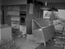
Our sense of place is deeply rooted and when it is taken from us and likewise when it is shown to us once again, we know it.  To understand exactly what has been taken or what we might slowly recapture and reestablish over time, however, requires awareness – an awareness of the subtleties of our physical landscapes and built environment, the visual cues, the ambient sounds and smells, the touch of the wind; an awareness too of our presence in those places and that of others with whom we interact or those we merely observe.

All of these components of heightened place awareness lead us to more meaningful and therefore more resilient connections to our locations.  And it is that tapestry of connections, the inherent desire to maintain them for our individual and collective well-being, that forms the basis and serves as a critical driver for purposeful and successful urban design.

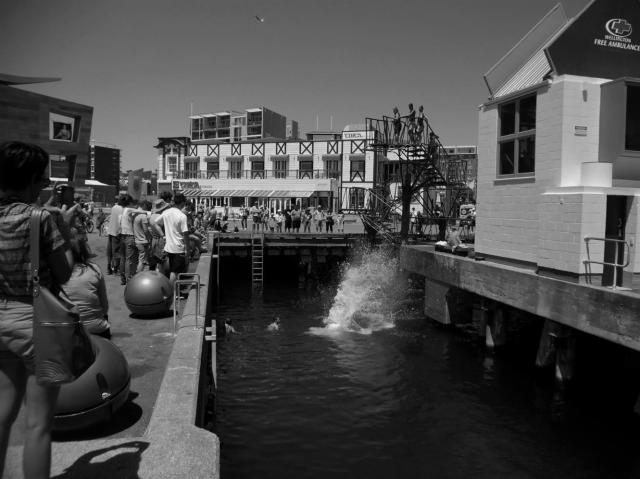
Pecha Kucha – Moving Towards Water Sensitive Urban Design in Wellington

The following is the text from my talk this past weekend at Pecha Kucha: The Winter Session, Wellington 2015.  I co-presented at this event with artist Kedron Parker and ecologist Paula Warren, fellow members of the study group associated with an online water sensitive urban design (WSUD) course offered through Monash University.

I spoke about the state of and potential for WSUD in Wellington, from the perspective of the connections I’ve been exploring between sense of place and urban design, particularly in regards to enhanced liveability.  Much of my inspiration came from my coverage of this idea in a previous blog.


As Kedron mentioned and at her invitation, I completed the online course and was one of her study group’s participants. I’m a geographer and as such am very interested in the idea of place, our inherent sense of place, and the implications of that awareness; last year I started up a blog on that topic. Within the course, the concept of liveability – described as one of the key drivers of successful urban design – resonated in particular with my thoughts about place.

When considered holistically, these ideas of place and liveability are about connections to our local contexts; about knowing and sensing what I call our geography of habitation, and in that way more fully participating as residents. In the locational context of Wellington, water plays a significant role in that regard. And as an element of urban design, water ticks many boxes, not only as a potential enhancer of liveability, through interactions with public art installations courtesy of artists like Kedron, but also as a resource that can be sensibly managed, through practices like harvesting and stormwater management, to improve the sustainability and resilience of our city.

But it takes effort to foster these design elements, and our challenge in this regard comes from our historical practice. Traditionally we’ve developed our built environment over the top of and masking the natural; when the decisions that resulted in our current urban experience were implemented, managing these resources was all about control. As a result here in Wellington many of the elements of our local water cycle are out of sight, and therefore out of mind.

Were you to ask Wellingtonians about signs of their local water cycle, most would probably mention the harbor. For good reason – it is large, obvious, easily accessed; a well-known and well-used urban amenity; a star attraction that highlights this city as a wonderful place to live. But in terms of our water cycle, it is but one element – an important one to be sure – but one step along the path.

Wellington’s combination of physical geography and climate results in an intricate network of streams for instance, with the important function of transporting fresh water through the landscape and into the harbour we all enjoy. While it’s significant, both in terms of scale and potential to carry either clean water or pollutants to our harbour, that network is in fact hardly acknowledged within our cityscape.

The streams are still there, they still run with water, are inhabited with eels and fish, but are now relegated to underground pipes. As such they are out of reach to us, a lost connection to our geography, for some of us our history, and in terms of WSUD, a missed opportunity at enhanced liveability.

But there is good news because there are plenty of ways to change that, to re-establish meaningful connections with our local water cycle. So over to Paula now to talk about how, through our choices and basic WSUD practice, we can make that happen, improve the liveability of our city, and in doing so maybe heighten our deeply felt sense of this place…

WSUD Wellington

Place through the lens: Matiu/Somes Island

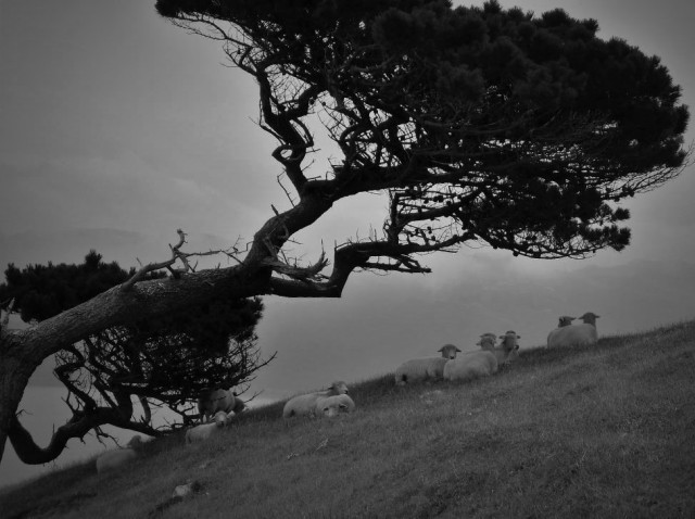
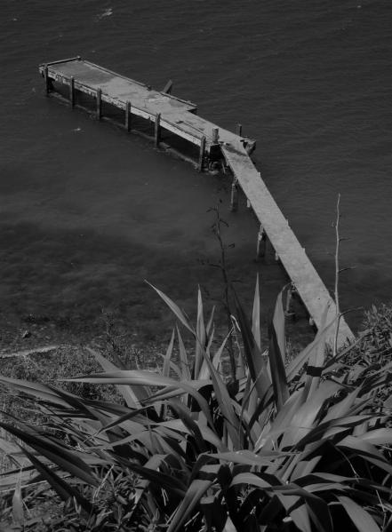
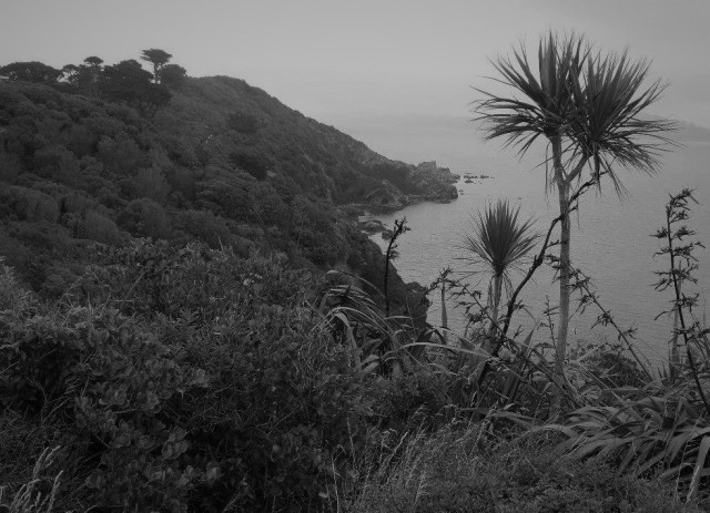
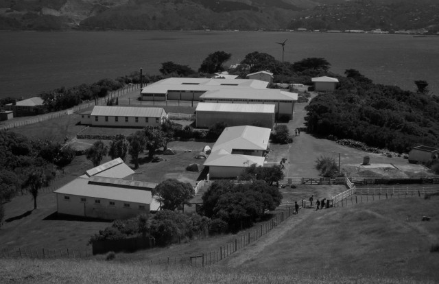
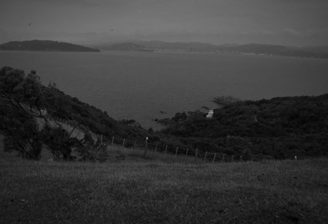
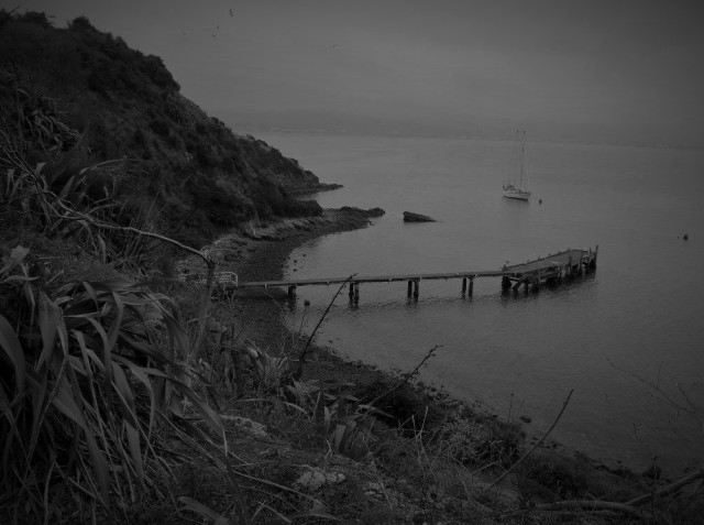
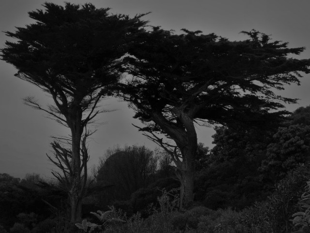
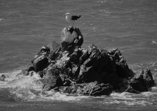
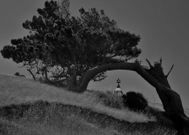
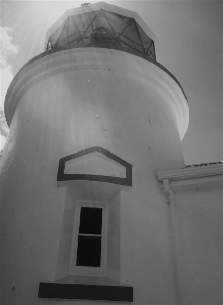
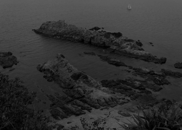
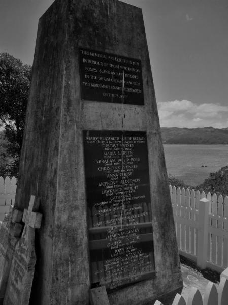
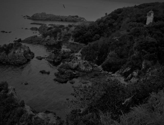
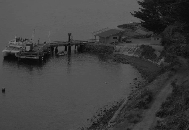
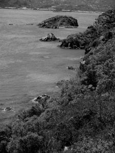
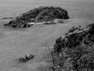
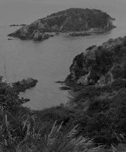
Some photography from Matiu/Somes Island, in Wellington Harbour. With its deep and complex history, relative abundance of protected native flora and fauna, and unique location – positioned within the midst of a significant urban area yet effectively isolated – this island location always provides a strong sense of its place for me.


Matiu/Somes Island 06


Matiu/Somes Island 09


Matiu/Somes Island 03


Matiu/Somes Island 05


Matiu/Somes Island 01


Matiu/Somes Island 08


Matiu/Somes Island 02


Matiu/Somes Island 04


Matiu/Somes Island 10


Matiu/Somes Island 07

The urban nexus

In keeping with the urban theme that’s occupied me of late, I’ve been considering just how the city exists as a fertile ground for a deeper consideration of place.  It seems to me it is indeed such a thing, no matter from which angle I approach that reflection.

A key concept emerging for me with sense of place is its inherent ability as it were, employing geographic scale, to support an individual in their unique identity while simultaneously facilitating membership within a larger landscape and broader community.  That ability to not only conjure but operate two seemingly distinct and potentially conflicting roles at the same time, and in conjunction with one another in fact, distinguishes place awareness as something genuinely worthy.

The triggers that increase awareness of place and generate meaning are variable and can themselves be associated urban_Wellington 04with either highly personal, individualised experience or with the particulars of a community perspective on a given location.  What’s more and in terms of the contributions arising from the physical locations, these triggers can be distributed along the full breadth of the geographic scale put to use.

On a practical level these location-based triggers are likely to be different in an urban context than those found in a rural setting.  But at their core, and in terms of the role they play in stimulating a consideration beyond physical space to place, I think they can be considered the same.  At the most elemental level, place = location + meaning, and it is in keeping with that simple formula, no matter what the situation, that place experience will run its course.

So what then is the value of considering a particular situation?  What is it about urban environments in particular that might make them important in the fuller consideration of place awareness?  It seems to me the city is special in this regard, if for no other reason than it is fast becoming the dominant context for place experience for a majority of the world’s population.  But my sense is that there is more to it than that.

In my previous blog, I touched on the idea of the urban environment as a nexus, in particular as a location where various cultural perspectives, conditions, ideas, all come together and interact within a constrained area.  And it seems to me this quality, this facilitation of a highly heterogeneous mix of things within a particular physical not just location, but situation, lies at the heart of the city’s contribution to a meaningful comprehension of place.

With that in mind I’d like to explore the proposition of urban as nexus in a particular way, incorporating a few analytical themes with which I’ve been involved or are otherwise familiar.  To me they are relevant threads, if not those that a typical city-dweller might list if asked, within the intricate tapestry that is an urban sense of place.

And turning that around, when viewed through the urban place lens, these approaches are exposed in a new way for further scrutiny and a deeper understanding of their purpose both individually and in conjunction.  The value of geography as common platform is in this way exposed as well and can be further acknowledged as a means of helping us understand the places we live.

One such list of urban-relevant ideas therefore might include:

  • Digital Earth
  • The Senseable City
  • Resilience

There is certainly a data-centric flavour to this list, clearly acknowledged in the first two and recognised as valuable to the last one, and that’s relevant.  Gone I think are the days when our interactions with data – its collection, discovery, management, utility – are considered as distinct in and of themselves.  Data engagement is no longer a technical “other,” the exclusive purview of the highly trained and specialised practitioner, as it was when I began my career.  Ironically technology itself, and its ability to capture, manage, analyse and present voluminous amounts of data in a timely manner has relegated the once unapproachable to the status of intuitive.

This is a profound development in many ways as it reduces or otherwise eliminates barriers to our interaction with data.  Suddenly as a result the playing field is opened up to a scope we could hardly imagine as practical not so long ago.  That creates seemingly endless possibilities of investigation, of knowledge, of understanding.  But of course therein lies a novel and maybe even more daunting challenge: How to manage and what to do with that newfound freedom?  Such are the questions addressed as part of the discussions around big data.

The three place-relevant themes listed above are all affected by this shift in how we interact with data.  Some of course are no less than defined by it or exist because of it.  Whilst they each might insert themselves at different spots along that data-interaction spectrum, they are all leveraging the new approach to data in some way.  And they are doing so, in most cases, within an urban context.

Digital Earth: With a goal of creating a global-scale digital model of the earth, incorporating all of its natural and constructed systems, this initiative is clearly ambitious.  But it has effectively leveraged developments in technology to make real strides of late.

In terms of generating actual working models, initial focus has been on the urban areas of our planet, with efforts on urban_Wellington 05several fronts to develop fully virtual cities.  The idea is that these then could be linked to effectively generate a networked virtual representation of the whole planet.  Sitting behind these developments is the increasing awareness that we simply need this modelling capability to properly manage, in those locations that affect most of us, the big problems like climate change.

I believe a key point for acceptance and the success of the Digital Earth (DE) approach involves a re-alignment of our thinking about what it truly offers.  To date the focus has been on the highly technical aspects of this proposal.  That’s understandable as the early-stage requirements of developing and maintaining a full virtual model on the scale of a single city even are daunting.  But such an emphasis masks the true value of DE, which is demonstrating how a computer-generated representation of our environment, even one operating at a global scale, can in fact support a more personal and nuanced interaction for each of us with our local environment.

Once effectively modeled as part of DE, a virtual city is available as an intuitive resource to help us to explore a myriad of ways to engage with our urban contexts, our neighbourhoods, our street.  These might be improved or otherwise altered ways of looking at common levels of engagement, or they might be new ways of engaging altogether.  The potential at least exists for this virtual representation to engender a more holistic and therefore more potentially genuine view of our city, which can only help colour and enrich our sense of urban place.

The Senseable City: Based at the MIT SENSEable City Lab and led by visionaries like its Director, Carlo Ratti, this initiative draws from both practical advances in sensor and data collection technologies and conceptual foundations including the city as a living organism, to propose an important contribution to the broader goals of DE.

Acknowledging that both the natural and built environments in which we all operate every day are profoundly complex, Senseable City proponents suggest an approach to understanding that incorporates continuous and live streams of data from a host of strategic sensors throughout the urban environment.  These collectors might be stationary or mobile, the latter including the well-publicised Copenhagen Wheel, which leverages bicycle commuters to collect real-time data on a host of urban variables such as traffic, air quality or road conditions.

As the streams of data from many sensors are received and processed, we are able to generate a true picture of the urban environment around us.  And importantly we can watch it evolve in real time, in response to various stimuli or agents of change.  Our contextual awareness is heightened as a result and we find ourselves interacting in new and more personal ways with what might previously have been considered a lifeless infrastructure and built environment.  In this way the Senseable City approach contributes to the DE value proposition of technology as an enhancer of environmental engagement.  And it too then provides a positive level of complexity that might very well evoke or amplify our sense of urban place.

Resilience: Along with sustainability and liveability, resilience is a fundamental driver for many applications of urban design and as such it is a significant consideration for much of the world’s population.  I noted in a previous post that it can be understood as something of a coping capacity, a measure of how a city – both its built infrastructure and population – responds to and recovers from future uncertainties.  Whilst not limited to natural disasters, that’s often the context in which resilience is discussed and it’s one that has interesting ramifications in regards to consideration of place.

In simple terms, a disaster can be characterised as disruption.  It is a disruptive force in many ways, from physical breaks to utility and communication services, the loss of transportation networks, the profound shift from familiar and comfortable routines to a focus on survival and subsistence, and the forfeiture of an expected level of personal safety and security.  Not only is what was once there and taken for granted gone or irreparably damaged, there exists for the survivor of such a disaster no guarantee that it will persist into the future.

And it is the nature of that return path to a sense of normalcy, either in the immediate aftermath once response efforts are initiated or well into the lengthy timeframes of recovery, that is itself a measure of resilience.  Following a destructive event, particularly in an urban setting where significant populations and dense implementations of the built environment are the norm, the ability to rebound, to put things right again, and to limit that which must be sacrificed to loss, is paramount to the continued life of a city. And if the time is taken to do so, the thinking about what persists, albeit sometimes in an altered form, and what is expendable, influences the level of resilience that is built into mitigation efforts.

To return disrupted lives to something of their condition prior to a disaster requires awareness, not only of what that urban_Wellington 01desired state looks like, but of the current state and where it falls in relation to the desired outcome.  It is in this regard that data generated from technology can be of particular value, historically characterising the city in the past, providing an accurate assessment of current conditions and thereby facilitating meaningful comparisons, pre and post disaster.  It is also at this stage of course where access to such data can be severely constrained.

As those in a city recovering from a disaster make their way in their disrupted lives, it is memory ultimately that steers them towards the familiar and to an urban existence exhibiting a high level of liveability.  Place awareness has a vital role to play in this regard and can exist as an important aid in recovery and therefore an invaluable component of resilience.  A strong sense of place, shaping awareness of the urban environment prior to a disaster, is available as a well-needed guide for the individual struggling to return their lives to some level of normalcy and for the community rebuilding its damaged infrastructure and amenities.

A strong sense of place can indeed persist through the events of a natural disaster and help speed the journey of recovery.  But it can be disrupted itself, perhaps in the case where physical location triggers are so irreparably damaged or lost such that they can no longer facilitate the meaningful awareness they once did.  In that case place awareness may be lost altogether, with profound consequences on the future individual or community.  Or it may re-emerge as something altered, a new awareness of a place changed by disaster, exhibiting new influences and playing a new role in resilience.

All three of these themes – Digital Earth, the Senseable City, resilience – associated with the urban context, reliant on large volumes of data, are more than just analytical approaches.  They are ultimately attempts to better understand exactly what a city is, how it functions, how it affects and is affected by those who reside or work within its boundaries.  And behind all of those considerations, I would suggest, lies awareness.  Awareness as city-dwellers of our immediate contexts, of the locations on the urban platform where we spend time or which are otherwise important to us.

I’m not suggesting that something as esoteric as sense of place can be fully realised from a stream of technology-urban_Wellington 06derived inputs of environmental data.  I’m suggesting simply that we need to be open to such inputs and consider how they can help fill out and enrich our otherwise experiential awareness of place.  To relegate technology in this way to the realm of the impersonal or negate it as operating, as with DE, at a scale too broad to be of relevance to an individual engaging with their immediate surroundings, is in the end to do ourselves a great disservice.

And it is in the urban context, at least currently, where these technology-driven data inputs are most fully realised.  It is that context too, the constrained and complex mix of conditions and outputs and circumstances, where they have the potential to provide the most value.  It is where the technologies themselves, or the initiatives like senseable cities or a fully digital earth that they support, likewise come together to interact and generate potentially new ways of considering the city around us.

It is for me an awareness of place, mapped onto the urban environment, that is ultimately at play here.  And with its myriad of elements, each influencing our place awareness in different ways, some in conjunction, some in contradiction, the city helps tease out just what place means to each of us, both as individuals and as members of a community.  As a nexus for these influences, the urban context therefore serves as a particularly valuable landscape for defining sense of place.

Place and urban design

I recently completed an online course, Water for Liveable and Resilient Cities, offered through Monash University and in partnership with the CRC for Water Sensitive Cities (CRCWSC). With an emphasis on the consideration of water as a critical component, this MOOC presented an in-depth review of the latest thinking on sustainable urban design.
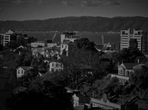
The course content helped me expand my practical understanding of urban design, a topic that has long been an interest of mine.  On another level it also got me thinking about urban geographies more generally, their realities and relevance and the peculiar set of issues that accompany those environments. In the context of this blog, the city creates some interesting possibilities too for the consideration of sense of place generally and how as a foundational concept it both supports and is defined by an urban location.

The lecturers in the Monash course spoke often of liveability as an overarching urban design goal and, along with sustainability and resilience, as one of the three core concepts driving the proper application of Water Sensitive Urban Design (WSUD).  A holistic approach towards what is arguably our most precious resource, WSUD proposes an urban environment, the water-sensitive city, that embraces the complete water cycle as the integrated system it truly is and employs approaches like fit for purpose water to manage a city’s resources and infrastructure in a highly efficient manner.

In a very useful sense, each of the key ideas behind WSUD was defined in the course in terms of capacity:

  • Sustainability = carrying capacity, the ability to provide basic needs;
  • Resilience = coping capacity, the ability to respond to and recover from future uncertainties;
  • Liveability = comfort capacity, the ability to provide safety, security, well-being, a high quality of life.

When considered from the perspective of place, all three of these urban outcomes are pertinent, though I believe a strong sense of place resonates most obviously perhaps with a positive liveability experience.

And as is often the case with place, the interplay with other ideas works beneficially both ways.  A deeply felt awareness of place can certainly enhance and sustain urban liveability, whilst an affirmative experience of liveability can trigger and strengthen the urban resident’s sense of place, particularly within the context of a neighbourhood or local community.

For instance, many of the built environment features associated with a positive urban experience are classified as urban_Wellington 08assets, perhaps in economic terms but also suggesting their beneficial contributions on many levels. A developed sense of place can heighten awareness of those assets, expanding the ways amenities are perceived as contributing to the city as a good place to live.  The result is an urban environment made even richer in personal meaning and experience.  Likewise the positive experience associated with those assets can lead to a deeper understanding of the urban location in which they are situated, resulting in a heightened sense of place.

It is in the nature of cities themselves and the way urban development often happens that allows for their consideration as a nexus for various elements of relevance to place.  The city is a complex tapestry of peoples, environments, conditions and ideas – like WSUD, which itself serves as a nexus, bringing together hydrologic and civil engineering, urban planning, landscape architecture, biology, geography, politics and the arts.

And as is well documented, that composite of people and conditions and ideas, all situated within the boundaries of a relatively confined location, is increasing throughout the world at a rapid pace.  More than half of the world’s population now lives in cities and that number is projected to reach seventy percent by 2050.  Combined with increased effects of global climate change, this rapidly expanding urbanisation is creating conditions whereby the goals of urban design are increasingly difficult to realise.

Of significance to place, the sustained growth in urban populations is attributable not only to the natural increase of those already living within a city, but also to the net influx of migrants relocating there from external areas.  The reasons for those relocations are varied, though often include cultural factors like conflict or natural ones like climatic pressures that make a rural subsistence untenable.

This pattern of urbanisation has been common to humankind through time, if not at the scale we see today. My own graduate research involved an analysis of the settlement patterns within what could be classified as relatively urban prehistoric settlements along the Salt River in Arizona. That proximity to consistent water was a strong draw, it is theorised, for many living in the hinterlands and exposed to the challenges of a long-term and widespread drought in the region at the time.

With sustained growth there is rapid and continuous change happening within the city boundary, involving the urban_Wellington 02melting pot of varied cultures, settlement preferences, languages, architecture and so on of different groups residing in close proximity. And as urban populations increase and more people are either born into or drawn to a particular city, the challenges of managing the diversity of inhabitants and perspectives such that outcomes like improved liveability are properly and holistically realised, likewise intensify. More and more differing threads in other words threaten to make for a chaotic and dysfunctional urban fabric.

In one respect, the urban design challenges, compounded by rapid population growth and associated with a high level of complexity and diversity within the city, can be exacerbated by variable senses of place, often linked to particular neighbourhoods, and distributed across the metropolitan area.

As noted in previous blogs, that enhanced sense of neighbourhood identity, brought about and strengthened by an awareness of local place, is in itself often a very good thing, helping to bring about a stronger sense of community urban_Wellington 03and feelings of inclusion amongst its residents.  The agreed vision often associated with a shared place sense is moreover an important contributing factor for the successful realisation of urban design outcomes like sustainability, resilience and liveability on the local level.

So when acknowledging place as a variable, something of a paradox results for city planners and administrators.  The unified sense of community required to get buy-in and ownership for urban design proposals within specific locational contexts can, as an element of a wider pattern of variability, simultaneously undermine the broader consensus required to enact urban design across the city in a unified way.  What works for one community might very well be utterly unacceptable when considered through the lens of the neighbouring community’s vision and sense of place.

Since a sense of place is often intertwined with a community’s identity and therefore its vision in regards to things like liveability, it could be viewed simply as one of the factors constraining a broadly agreed urban design.  But that would unfairly characterise it as something to be overcome and likewise fail to give it credit for its unique ability to transcend scale.
Place can indeed work across scales, to help acknowledge and solidify the unique contributions of specific locations to a broader perspective, while simultaneously presenting a wider level of locational awareness, at the city scale for instance, to lay across and connect those specific considerations of place-based identity into something of a unified view.

This characteristic for me brings place firmly within the theoretical camp of geography, as it should be.urban_Wellington07

Geography by its definition proposes a location-based perspective as a particularly effective way to understand how we as humans exist and have existed on our planet, and how too we might best realise that continued contract for habitation.  As it is linked inexorably to the single planet that we all share, location is an intuitive condition.  Geography is in this sense a common platform, one that can be employed effectively to establish connections, bridge gaps, facilitate meaningful communication and promote a genuinely shared vision.
As an inherently geographic concept, sense of place carries with it this capacity and is effectually utilised in situations that require collaboration and shared thinking to address a broad range of complex issues.  In the urban design and planning context, it allows for the acknowledgement of identities developed out of awareness of specific constituent locations, while simultaneously transcending them and presenting a new perspective, still location-based, for assessment.

Establishing a location-based connection with participants that is highly intuitive, this idea of place therefore offers a relatively easy means of transition across scope and scale from the vested interests of a particular urban neighbourhood to the consideration of a proposal with the potential to improve the liveability of the city as a whole.

Whilst not acknowledged and employed currently at the level of its potential, sense of place then stands as a particularly effective means of advancing the goals of urban design and improving the quality of life of an increasing proportion of those of us residing in our cities.

Mokopuna: Place in isolation

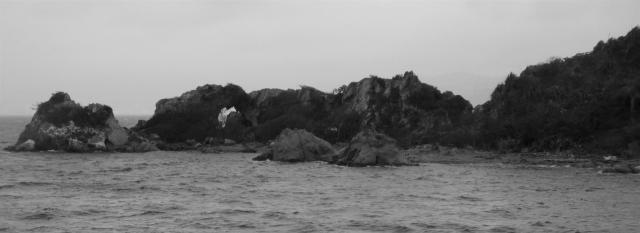
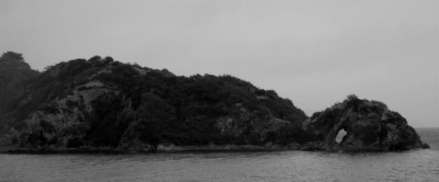
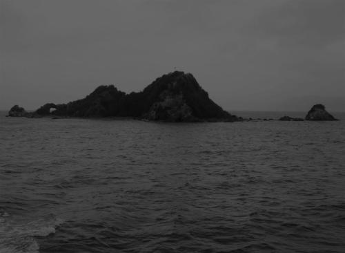
This past weekend I booked passage on one of the ferries specially arranged to cruise past the Mokopuna Island Project, a temporary art installation by Mike Ting and located on the island of the same name.  Mokopuna Island is a Mokopuna Island_01small outcropping of volcanic rock, roughly 200 metres by 80 metres in size, situated adjacent and to the north of Matiu/Somes Island in the middle of Wellington Harbour.

Mokopuna would not likely be well known, as there are many such small uninhabited volcanic bits sticking out of the local waters, were it not for a short-term resident just over 100 years ago.  In July 1903 Kim Lee, a Chinese immigrant to Wellington, having been (mis-) diagnosed with leprosy, was sent to Matiu/Somes Island, which owing to its geographic isolation, served as a quarantine station.  Due to the nature of his supposed illness, the fears and prejudices of the others quarantined with him and his own laments regarding his fate, Lee was subsequently banished to Mokopuna Island, an even more isolated location, across 50 metres of water from the northern tip of Matiu/Somes.

Kim Lee lived a solitary and difficult existence on this piece of rock for just a matter of months, until his death Mokopuna Island_02there in March 1904.  Some have speculated he died of a broken heart, for he had just prior to his death learned of the passing of his mother in China, who it is believed took her own life, having received reports of what she understood to be her son’s lifelong quarantine in far-away New Zealand.  Lee had indicated that it was the hope of getting well and saving up to visit his mother in China that kept him alive through his ordeal on Mokopuna.

…I know that I won’t die here, that when I get away from this place, I’ll go back to the village where the tower watches over the carp ponds, and I’ll see my mother again.

While enduring his solitude, Kim Lee suffered the trials of the small, exposed island, subject to the Mokopuna Island_03wind, rain and cold that is common to the area much of the year.  The spartan and diminutive wooden hut that was his home was not adequate for such conditions and so he often slept in a small cave near the shore, which he indicated sometimes flooded at high tide.

Food and supplies were carried to him on a rowboat by the local lighthouse keeper, or during rough weather transferred via a zip line strung across the stretch of water between Matiu/Somes and Mokopuna.  Other than that lighthouse keep, Lee’s only human contact was with Dr. Valintine, a local physician who had been assigned to monitor Lee’s condition with weekly visits to Mokopuna.

Kim Lee’s tragic story served as backdrop and impetus for the project by Mike Ting, to explore themes of “isolation, vulnerability and social responsibility in New Zealand’s post-1980s socio-political context.” Those like myself wishing to experience this temporary art installation, the nature of which was not revealed prior to the day, were taken to Mokopuna on a harbour ferry. For these special sailings the return to Wellington from Days Bay passed to the north of Matiu/Somes, rather than along the customary southern route.

The day was wet, windy and particularly grey, with clouds hovering low over the water obscuring any view of coastline while we were in the middle of the harbour. With what I did know of Kim Lee’s story at the time, it seemed a fitting atmosphere in which to experience an artistic homage to such a heart-rending history. The combination of the close weather and uncertainty about just what we were to experience, created a mood of uneasy anticipation on board the ferry as we made our slow approach to Mokopuna.

Mokopuna Island Project_01

Close in on the east side of the island, as the engines were powered down, we were sheltered from the prevailing winds and a calm quiet engulfed our vessel. In this silence, a single blast from the ferry’s horn announced our arrival as if to alert the ghost of Kim Lee himself. From the top deck we all scanned the shoreline, looking for some sign of this installation, the artist himself perhaps, but there was nothing – just the DOC sign warning away potential landings on the protected island and a landscape of scrub brush and gnarled volcanic rock, punctuated here and there with arches and small caves.

Mokopuna Island Project_02

The silence and lack of obvious activity continued for some time it seemed when there arose from an unseen source on the island a loud and maniacal laugh that in the still, carried far across the water. It repeated multiple times, over the course of several minutes, its source never revealed. Surely this was meant to represent the voice of Lee and its form suggested a level of lunacy. Perhaps the oppressive isolation on this rock in the harbour had turned his mind and he had succumbed to madness.

There was nothing else but that laugh. No explanation, no visual clues, no tangible human forms with which to give the artistic expression context. But in its singularity, its clarity across the calm and confined waters alongside Mokopuna, that choice of auditory presentation was powerfully felt. Its unexpectedness too, arising without warning from somewhere within the bush along the shoreline, added to its effectiveness.

Then as suddenly as it had started the mournful laughter stopped, the ferry engines were powered up and we began the trip back to Wellington. As we rounded the northern point of Mokopuna Island, the wet wind hit those of us on the upper deck as a gale and we were left in that drastically changed environment to mull over what we had just experienced.

Mokopuna Island Project_03


After docking back at Queen’s Wharf, each of us disembarking from the ferry was presented with a Mokopuna Island Project brochure, which in addition to two selections speaking to the artist’s themes, included a Final Thoughts section by Kim Lee himself. These poignant words from the human source, recorded it would seem while he was quarantined on Mokopuna, provided whole new dimensions to his story and the isolation he experienced those last months of his life.

Along with the experience at Mokopuna Island itself, this got me thinking more closely about geographic isolation and the way it might weave into the fabric of place. In previous posts I’ve spoken about the way place can be leveraged to create and even promote a community identity. How, connecting individuals who share an awareness of their common location, it can in fact bring otherwise disenfranchised individuals into that community.

But in the case of Mokopuna Island, place is revealed and experienced within the context of isolation, of separation, of loneliness. It is the segregation experienced by Kim Lee, tragically within sight of the large urban centre of Wellington in which he would never again participate, that for him gives rise to and supports an awareness of place. A consequence of the cultural prejudices and medical misconceptions of the time, this sense of isolated place only served to accentuate the unpleasant realities of Lee’s experience as a Chinese minority in early twentieth century New Zealand.

Yet taking into consideration Lee’s recorded thoughts, it is not that simple. For intertwined with and clearly influencing his in situ sense of place on Mokopuna, is his displaced sense of place associated with both his family village in China and the community of his new life as an immigrant in Wellington. It is these more affirmative senses of place that both contrast with the grim reality that has befallen him in his current location, and provide him hope and an amazingly philosophical take on a condition and fate that would likely plunge others into utter despair.

Months of isolation could have driven me mad, confronting myself with only myself, admitting to what I fear, to my regrets, to what my life means. But even though I’m living on a rock in the middle of nowhere, I feel like my life has moved on in some way that it wouldn’t have otherwise….I have learned that solitude provides a space in my mind where I do have some power. I can sit on this rock, look back at Wellington, and imagine it’s home.

MokopunaIslandProject_05


So what to make of this? What is there to be taken away from Kim Lee’s experience on Mokopuna to help me better comprehend sense of place?

I think when considering such a place sense that has been sourced from and moulded so significantly by isolation, it’s not productive to consider its value ultimately in terms of community, at least not in the same way as I’ve done previously. But that’s not to say that interestingly enough, place cannot in fact still generate those shared connections amongst a set of location-linked individuals and in doing so create something resembling a community, even if it is transient and temporary.

I suspect all of us who experienced the trip to Mokopuna Island on that grey morning last weekend, accosted unexpectedly with that disturbing laugh emanating unseen from the bush near the shore, knew in that moment a heightened awareness of the unique circumstances of the location before us. Though it represented but one artist’s ideas about the ongoing meaning of the historical events associated with that setting, it added in some way to the sensitivities of all of us in witness. We were gifted with insight, if on different levels and of different varieties, into a solitary existence on this small bit of volcanic rock and what then this place truly is.

And I would likewise guess that even while finding ourselves plunged almost immediately into a new environmental condition, we all took something of that new or renewed sense of Mokopuna Island with us, back to our much different lives, where it might influence our own personally held senses of place.

In that we are connected. In that something of a community has resulted and persists.

Mokopuna Island Project_04


Source for the details of Kim Lee’s experience and his quotes: Ting, Mike. Mokopuna Island project brochure. Wellington, New Zealand. 14 March, 2015.

Place and the mind body duality

I was recently looking through the website of Yi-Fu Tuan, a humanist geographer I have long admired and one often described, in academic circles certainly, as a leading authority on place.  I was drawn to a particular posting on his site, a transcript of his farewell lecture delivered at the University of Wisconsin-Madison about a year ago.

In this talk he expounds on an idea that I think is seminal to his thinking and which moreover has significant implications for my own ideas on place: the inherent duality of human mind (consciousness) and body (physical presence).  Tuan’s basic premise is that as humans our minds often operate independently of our physical selves; that is, we can easily be “somewhere else” though physically situated in a specific location.  The wandering mind.  It happens all of the time.

For Tuan, mind and body are reasonably manifestations of the broader concepts of space and place: “…since the human individual is both body and mind, he can also be said to be both ‘place’ and ‘space.’  His body, tied by his senses to the environment, is place; his mind, freed from such sensory ties, is space.” [Tuan, Yi-Fu. “Space, Place, and Nature: The Farewell Lecture.” April 4, 2014.  http://www.yifutuan.org/dear_colleague.htm ]

I find that idea worth further consideration for several reasons.  Firstly, I admire it for its inherent simplicity.  In its economy of words it encapsulates a particularly insightful and far-reaching truth.

I also find it interesting in that it essentially turns my terms on their head.  For in my discourse, place is dependent on human consciousness.  It always sources to some extent on the inherent identity and character of a physical location, but it is given life and full realisation within the mind of the observer. It is the end state in my view, whereas Tuan’s use implies it is a constituent component.

Likewise, though I haven’t substantially worked through this yet, I would be more inclined to associate the term space with a physical location and more than that, one which contributes to but doesn’t necessarily result in a sense of place.  To Tuan, our bodies in a particular location, bound to and subject to the limitations of physical presence, provide us our place.  While our minds, equipped with imagination and freed from such constraints, provide us with the boundless experience of space.

Another way to consider this is through the use of my basic definition: place = location + meaning. Here, location is the placeholder for all that is physically experienced, as well as that which is inherent to the identity of a particular landscape. It is therefore the realm of the physical senses. It exists as a critical component of place, as the equation suggests, but one that requires the addition of the observer and consciousness.

Based on that and seemingly in opposition to Tuan’s definitions, I would be inclined then to associate the term space with physical location and subject in some instances therefore to what he calls “sensory ties.” I’m not as comfortable suggesting the association of constraints or limitations with this physical component, but I understand his purpose in doing so, to support his contention of the corresponding limitlessness of consciousness.

A space in my view becomes the material context, a container if you will, into or onto which meaning is established, resulting in deeply felt connections. This space can be used to define the boundaries of a natural landscape, a cultural landscape or that of a more immediate scale representation such as a room. The latter suggests some interesting ideas about place within the context of architecture, something I’d like to take up in a future post.

So on the surface a reversal of terms, but ultimately not a contradiction of terms.  Like Tuan I am steering towards the same end state – a celebration of the experience of place and an acknowledgement of just how enriching those moments are to the human condition, and thus how important that perspective is to any treatment of geography.

What’s more, upon further reflection I think Yi-Fu Tuan’s ideas in this instance provide me with a legitimate way to begin to address what has been something of a nagging challenge of uncertainty. His notion of the mind body duality, though seemingly employing different definitions of place and space than my own, might offer a means of a more nuanced understanding of in situ and displaced place.

Place, in what I suppose is its most elemental form, can certainly be conjured while one is situated within a particular location.  Most I think would be comfortable accepting the idea that a sense of place can be felt while one is right there, experiencing all that a given location has to offer the mind and the senses.

But I’ve found too that a significant sense of place can arise when simply experiencing various media manifestations (photographs, soundscapes, paintings, video) for instance, that effectively capture and re-present a location.  That displaced sense of place might be similar and comparable to that experienced in situ, or it might represent a whole new level of awareness, perhaps influenced by the nature of the media employed.

I think this notion of removed place is interesting and worth celebrating, but the fact that it happens is not the challenge for me.  Rather, I’m struggling to put the two styles of place sense in their proper relational context.  I can’t decide for instance if in situ place, which just feels that way, is necessarily more genuine.  Or if the place sense from the exhibition of a removed location can even legitimately be compared on a meaningful level.

Thus far I’ve been happy to recognise that both these types of place sense exist and in fact in their differences only expand and enrich the potential of place generally.  But I still desire a more satisfying way to characterise them, particularly in regards to one another.  Arising from different experiential sources, why do they each emerge and how might they be properly contextualised to give them their separate and combined due?

Here is where the writing of the venerable professor emeritus at the University of Wisconsin-Madison can be of assistance. Borrowing from Tuan, two agents (body and mind), in two contexts (in situ and displaced), generates four possible outcomes:

  1. body and mind both in the location
  2. body in the location, mind displaced
  3. mind in the location, body displaced
  4. mind and body both displaced.

A body in a physical location is easy enough to understand.  But the idea of a mind in a location requires a bit more explanation.  For the purposes of this discussion I would describe a mind in a location as one fully engaged with that location.

If the observer is in situ, then inputs like those from the physical senses certainly help to focus the mind in this way; if displaced, then things like memory or media representations can help engage consciousness.  The point is that the mind in this instance is fully there. It is flooded with a high level of awareness and as such knows little in the way of distraction.

So now to look at each of the four scenarios and how they relate to in situ and displaced sense of place.

Number four is easily discounted to start.  For if the observer is not in a location and the conscious mind has no engagement with that location, then no sense of place is possible. Or if it is argued that there could be an unconscious connection, there is still no observer awareness and so no sense of place. This might be characterised as the rest of the world, outside of each of us. It exists, we understand rationally that it exists, but at this point in time we have no legitimate connection to it.

Scenario two suggests Yi-Fu Tuan’s take on space and place.  For it is this common distinction between physical presence and consciousness found in humans that defines the mind body duality for him.  Interestingly (and by my interpretation of his writing anyway) he sees this as ripe with potential.  For it is our uniquely imaginative minds that free us from the bounds of physical locations and allow us to experience a more enlightened idea of space.

Again I absolutely understand and accept his thoughts on this, but acknowledge that it represents a different use of terminology and therefore gives rise to a somewhat different set of conclusions on place than my own.  By my reckoning, this arrangement cannot result in a fully realised sense of place and is therefore not the most enlightened outcome. It does however stand as a powerful scenario for understanding the role of inherent locational identity, a critical input for sense of place.

Scenario number three corresponds to my definition of displaced place.  It is here that various proxies for a meaningful experience or awareness stimulate the connections that are required for a true sense of place.  And as I’ve noted previously, the resultant place sense can be surprisingly visceral. And it can conjure a wholly new and different level of consciousness to that resulting from in situ experience (scenarios one and two).

That leaves scenario one.  And it is here I think that the idea of sense of place is most comfortably acceptable, nearly logical in fact.  If we are physically situated in a location, directly experiencing all that location has to offer in its visual aesthetics, sounds, smells, tactile sensations, and simultaneously our conscious minds are fully engaged, whether from those sensory inputs, other mental triggers like memories, or as is often the case a combination of both, then a genuine and deeply felt sense of place is, if not inevitable, at least possible.  And it is likely to be powerfully felt.

So Tuan’s ideas on mind body duality offer a worthwhile means of analysing in situ and displaced place, and that’s very useful to me.  The question remains, though, am I any closer as a result to clarifying their respective roles and significance?

I suppose that remains to be seen. It does demonstrate, however, that the two states of place sense, on the surface wholly disparate, can be considered together within the same analytical framework. And that feels to me like a step along the path.


Kumutoto stream re-dedication: the sound of place

I was privileged to be invited to the recent re-dedication of the Kumutoto Stream soundscape installation, as it officially transitioned from a temporary exhibit to a permanent art installation for Wellington.  The artist behind this unique-to-the-city work, Kedron Parker, graciously extended that invitation as way of acknowledging the alignment between her desire to uncover linkages to the city’s historic geography and my interest in place.

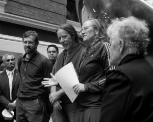
The event was well and enthusiastically attended with a noteworthy mix of participants from Māori mana whenua, city officials, artists and journalists and I’m sure Kumutoto re-dedication_Kedron Parker and Mayora contingent of lunchtime passers-by, curious no doubt about this impromptu gathering at the top of Woodward Street.

All were supportive of the idea of this new style of public art for the city, a departure from the standard sculpture or mounted plaque, and the significance of Kedron’s contribution as a harbinger of things to come was duly noted.  A key topic of discussion concerned proposed work to follow on from the original tunnel enhancements, which Kumutoto_project teamwould extend to broader and increasingly relevant considerations of the local water cycle.

Since my last visit to this location, a waterscape feature (titled The Wet Index) has been installed behind glass in one of the historic buildings bordering Woodward Street, fueled by water collected from the Kumutoto headwaters.  It provides the public a chance to see Kumutoto stream water in movement as they listen to its sounds emanating from the nearby pedestrian tunnel.

Representing one of the talks from members of the various groups in attendance, a representative from the Port Nicholson Block Settlement Trust spoke passionately about the significance of local streams like the Kumutoto to local iwi. She bemoaned what she described as the loss of this and other local waterways classified by the city as drainages, rather than streams, within the urban context.

Relegated to pipes beneath the pavement and buildings of the city, and serving purely utilitarian roles as conduits within an infrastructure stormwater system, they had suffered no less than a death in her estimation. For their invisibility within the built environment meant too a loss of direct engagement with their natural movement, the source of their lifeforce.

Listening to her speak on this topic put me in mind of similar ideas expressed by native peoples in North America. In the American desert southwest where I lived for a time, indigenous tribes also recognise the significance of natural movement, expressed most often within that arid environment in terms of wind. Moving wind as a source of life is acknowledged not only in terms of that which flows across the natural landscape but in all of its manifestations, including the breath of words and song.

It also highlighted for me the importance of this idea of movement amongst physicists, a group to which I previously belonged and representing surely one of the most adamantly indoctrinated to the principles of western/pākehā scientific thought. Classified as kinetic energy in this context, the power of movement is accorded a significant role within the precepts of fundamental physics.

In this light, Kedron’s work is more than just another piece of public art. It is in fact an important attempt to reconnect the Wellington public with this particular lifeforce, expressed through temporally distant but familiar sounds associated with the movement of Kumutoto Stream in its natural state. In doing so it is gifting to all who experience it the possibility at least of benefitting from it, as those who resided in or visited this area prior to the development of the Port Nicholson settlement once had.

This particular form of artistic expression, a soundscape, offering as it does a connection to a long absent lifeforce, provides as well yet another avenue to a meaningful sense of place. The rush of water and ancillary sounds of a riparian zone projected through the installation’s speakers effectively captures the place of Kumutoto Stream at this location. Standing within the confines of the pedestrian tunnel, putting aside any visual inputs for a moment, it is that auditory experience that generates meaning. And it is more than anything an emotional reaction.

In my discussions of place I’ve focused primarily on visual inputs, including in particular photography as a trigger for sense of place removed. But perhaps I’ve done so at the expense of those inputs from other senses. I have generally associated sensory triggers like sound and smell and touch with in situ place, as it is in these immediate contexts that they are most prevalent and potent. But the experience of this soundscape has opened up new possibilities for me in this regard. And more than that it has seemingly presented a powerful and highly accessible way to emotionally connect with place.

When I was an undergraduate student at university some twenty years ago, I enrolled in a basic music class as a way to satisfy required non-major elective credits for my degree. The word on the street was that the class was a particularly easy option with a good grade all but assured. The professor teaching that particular class was of an age and an inclination to have been actively involved in the counter-culture movement of the 1960s and was still considered something of an ex-hippy.

But he most definitely knew his subject and his relaxed teaching style resulted in an unexpected level of learning for all of us who had enrolled in that class. It was not uncommon for the lecture to veer off on tangents, once we learned he was easily distracted and prone to tell stories from his past. On one such occasion, we wound up talking about the idea of choosing what sense we would give up if required to do so. After a time it settled into a discussion of sight versus hearing. As expected almost all of those in the class were emphatic that they would never want to do without sight, so could sacrifice their hearing.

The professor was just as passionate in his opposing response – he would sacrifice sight over hearing without hesitation if required. Sight he argued provided plenty of information, it was true, and we had evolved to become very dependent upon it. But sound, he explained, gave life its emotion, its nuanced meaning. Without it life could be empty, a series of flat images, and that he couldn’t bear.

As I suspect was the case with most in the class, I wasn’t fully swayed at the time. But my experience in the intervening twenty-odd years has helped convince me otherwise. I more fully appreciate now the wisdom in that professor’s words.

At the re-dedication ceremony I was struck again by that truth. For it is the auditory experience, the sound of rushing water and birdsong that best captures and meaningfully re-presents a buried lifeforce of movement, of place as it once was here. And it has managed to do this for me, and for others, though we might have no direct personal connection with this particular location.

All of this serves to raise in my mind again this idea of in situ sense of place versus that associated with unknown or otherwise removed locations. For despite a natural and logical partiality towards the superiority of in situ place experience, those biases have again been effectively challenged.

It is hard afterall to deny that in the presence of those gentle sounds emanating from within the Kumutoto pedestrian tunnel, the stream that once ran here in a meaningful way is raised up and out of its buried pipes and into our direct consciousness of place.

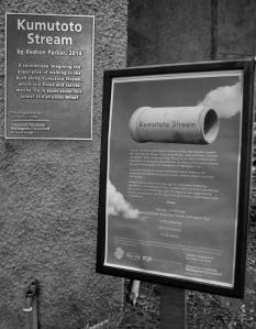
Kumutoto Stream_permanent installation